My adventure in Mesa featured several days of spectacular flying weather. There were a couple of cloudy days in the middle, but five of my seven days were perfect. Here’s the sign from the motel I used, a local landmark, known as the Starlite.
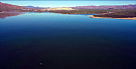
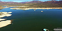
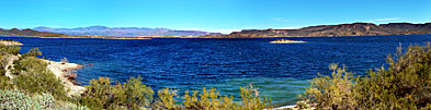
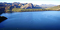
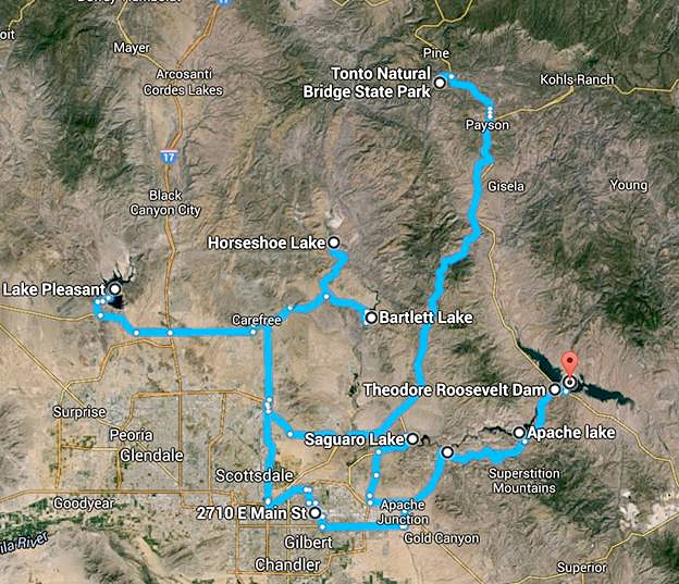
Mesa is surrounded with several reservoirs, which have become dual-use recreation areas. Some of them are modestly developed, others are full-fledged regional parks with full facilities.
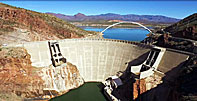
The largest and most fully equipped is Lake Pleasant. Others such as Lake Roosevelt, Canyon Lake and Lake Bartlett have huge marina and mobile home storage facilities, hinting that these lakes are crowded to bursting during the summer months.
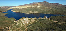
The Salt River runs westward from huge Roosevelt Lake through Apache Lake, then continues on through Canyon Lake to the Phoenix suburbs.
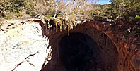
North of the City, the Tonto National Bridge State Park is nearly a hundred miles from Mesa, with Lakes Bartlett, Pleasant and Horseshoe as we get closer to the city.
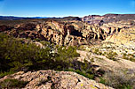
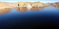
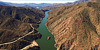
Hope you enjoy the contrast between these bodies of water and the surrounding desert!