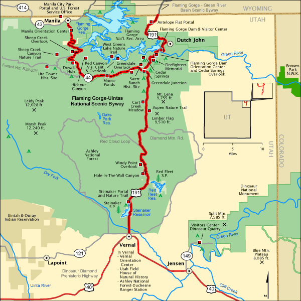
Flaming Gorge National Recreation Area
Summer 2012
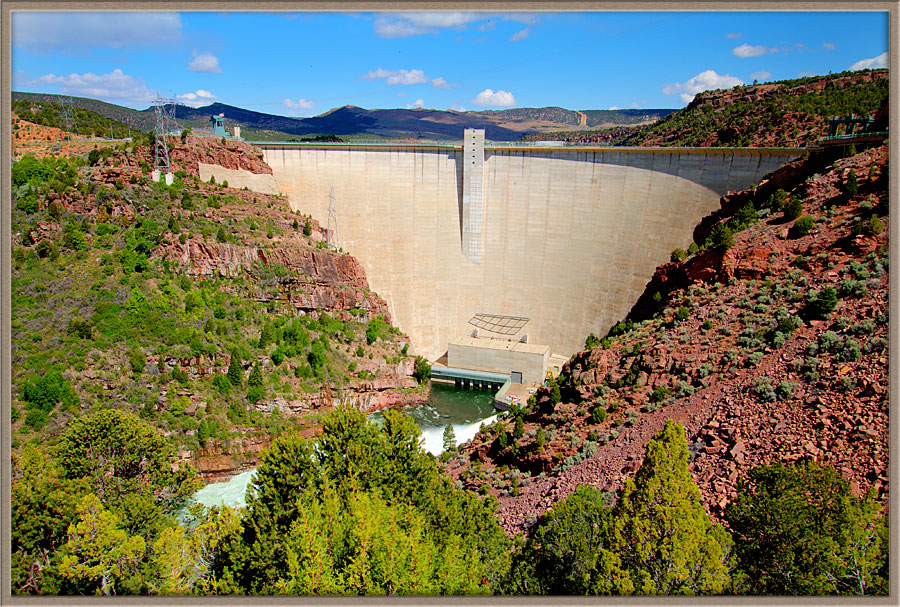
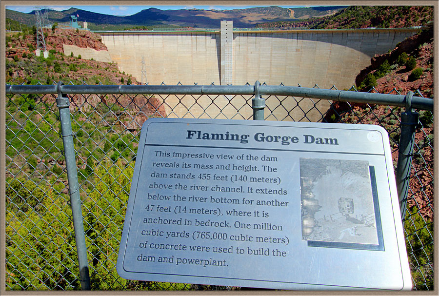
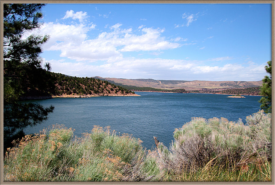
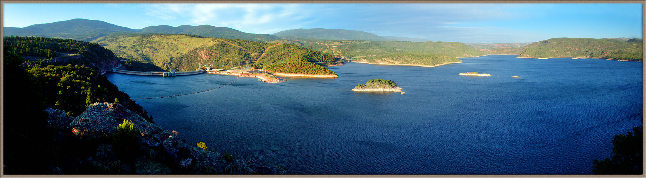
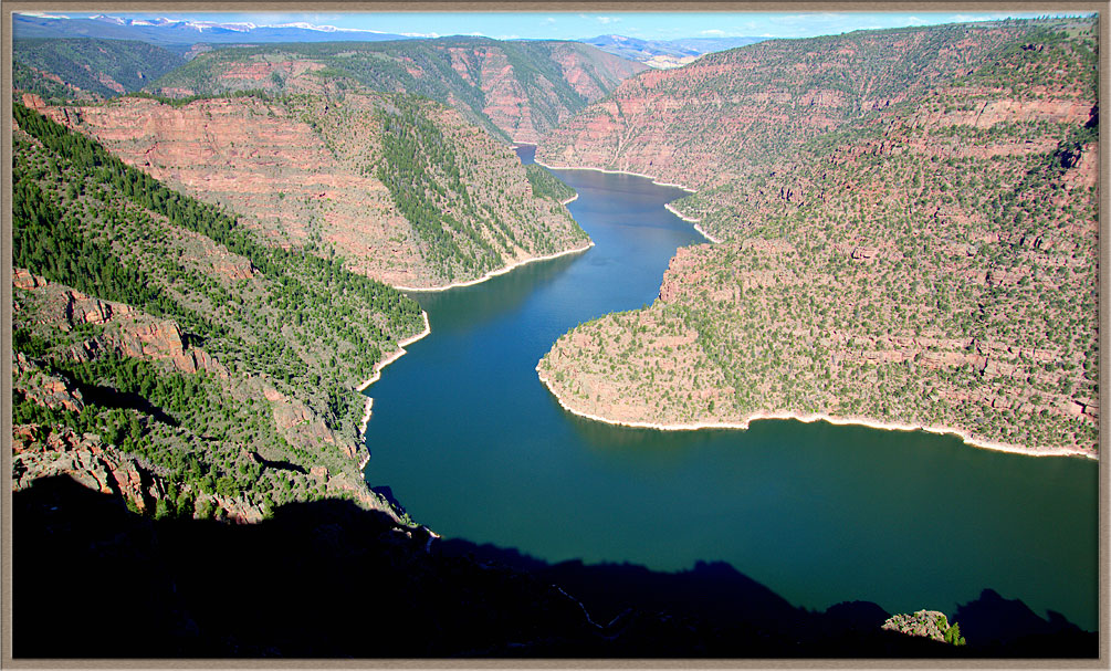
The Flaming Gorge Dam is on the Green River in the northeastern corner of Utah, and its 90-mile long reservoir extends North through winding canyons into Wyoming.
The dam is of similar design and mass to Hoover and Glen Canyon dams, holding back and regulating a huge body of fresh water.
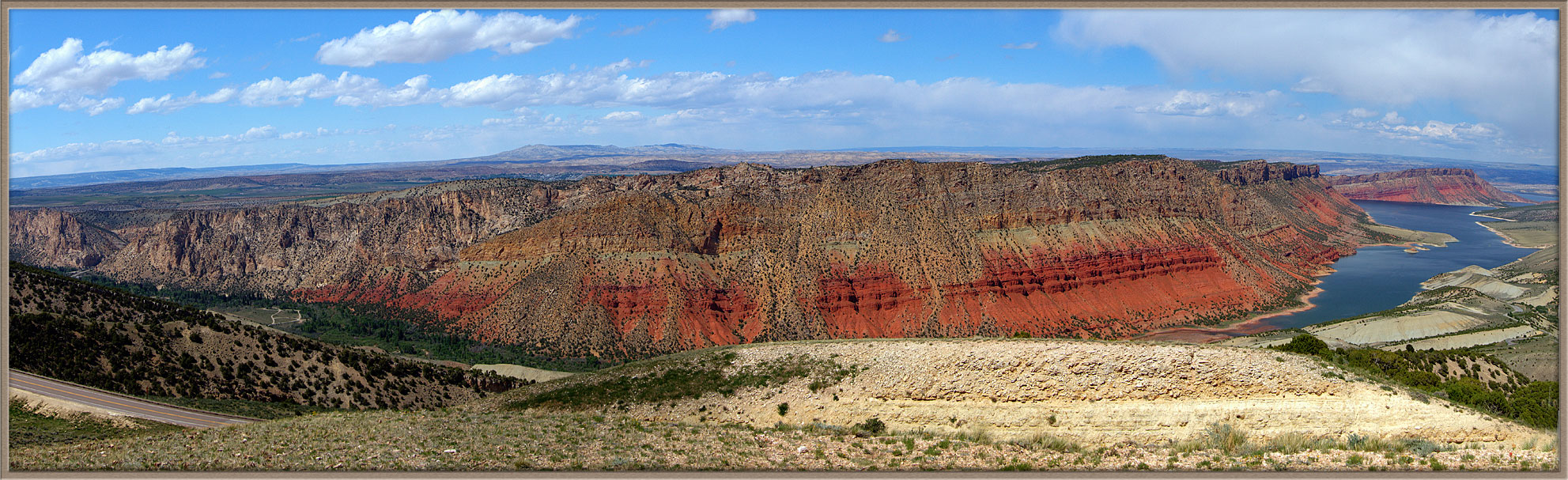
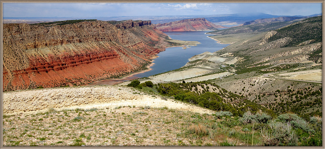
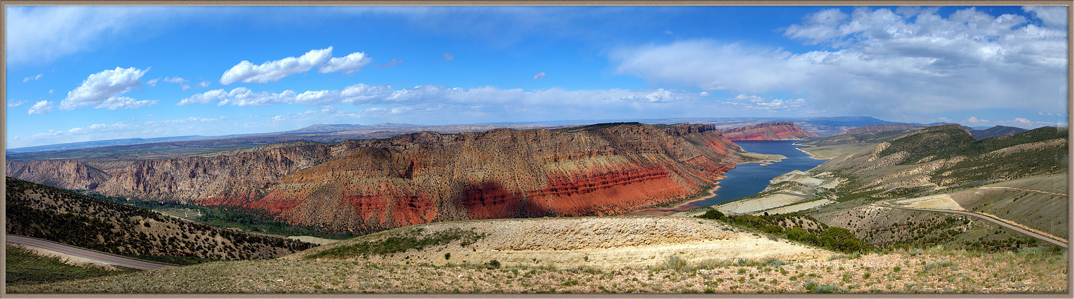
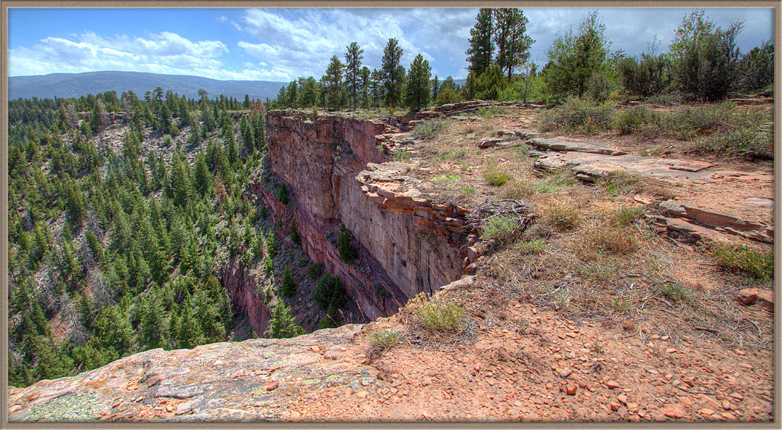
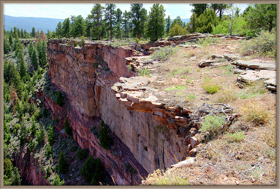
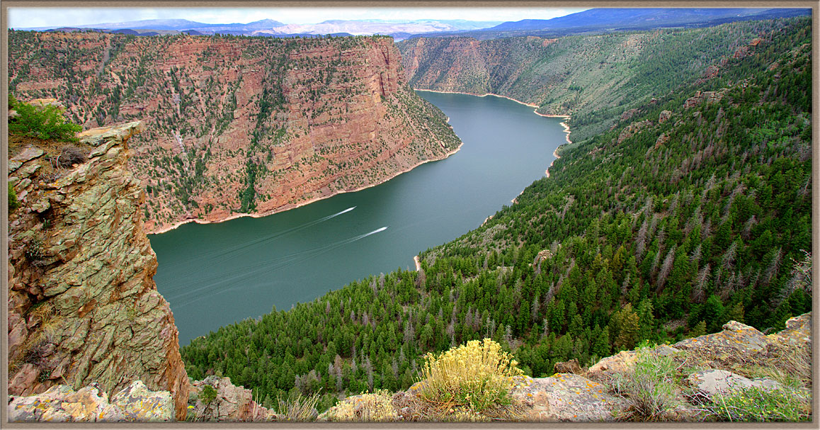
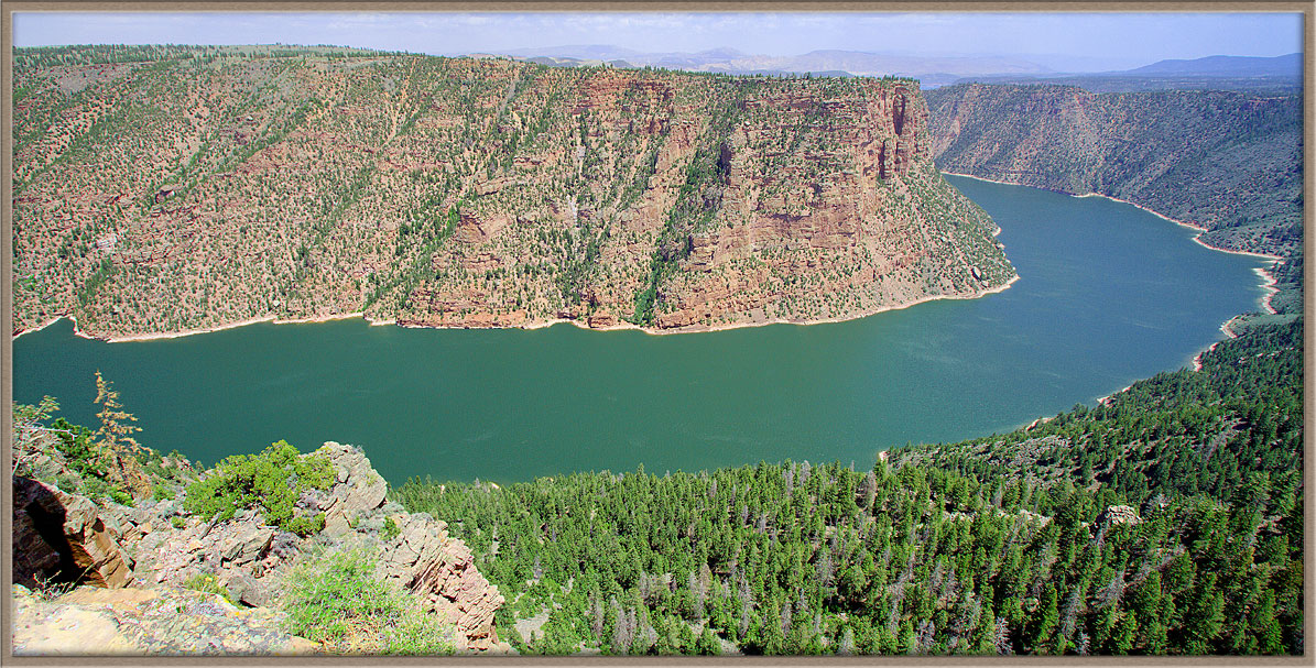
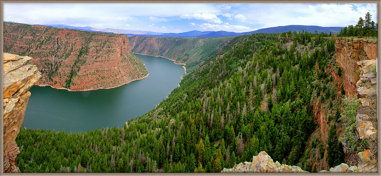
One particularly spectacular section of river is at Red Canyon, where viewers stand on cliffs high above the riuver as it flows between immense sandstone walls.
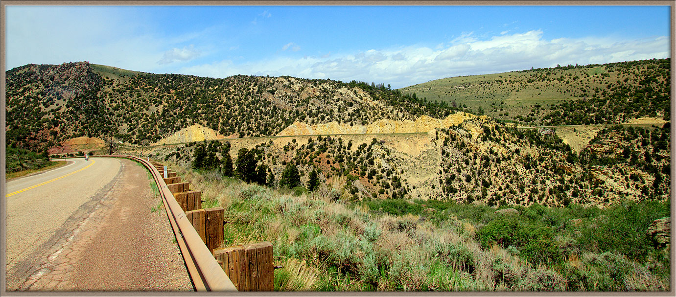
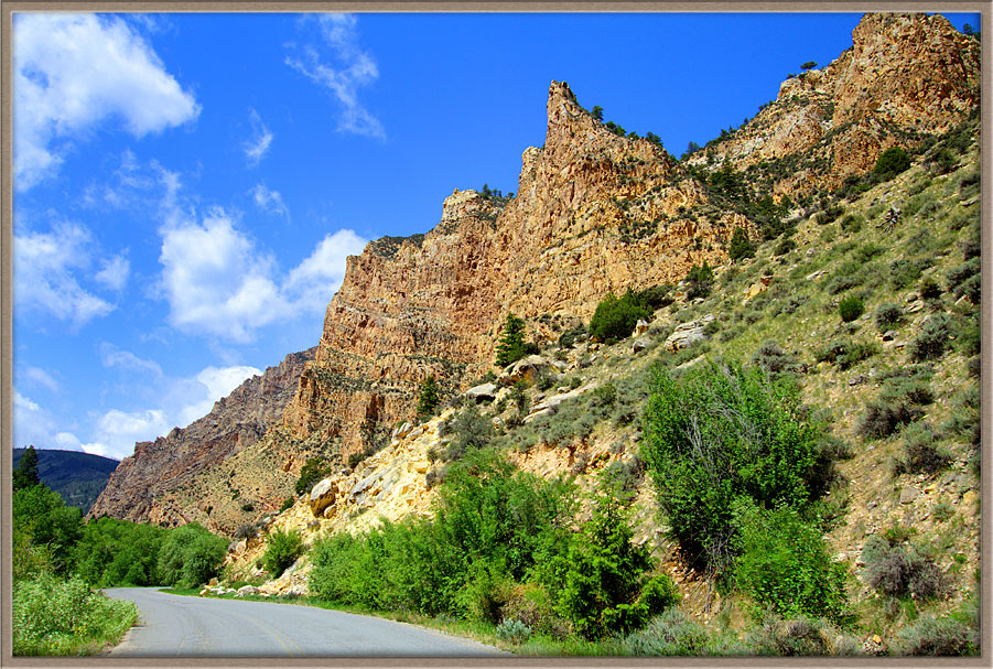
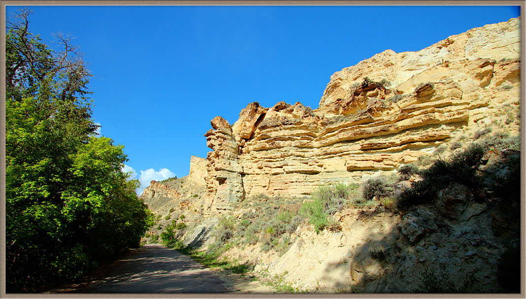
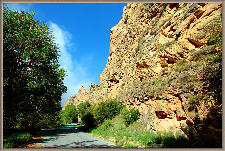
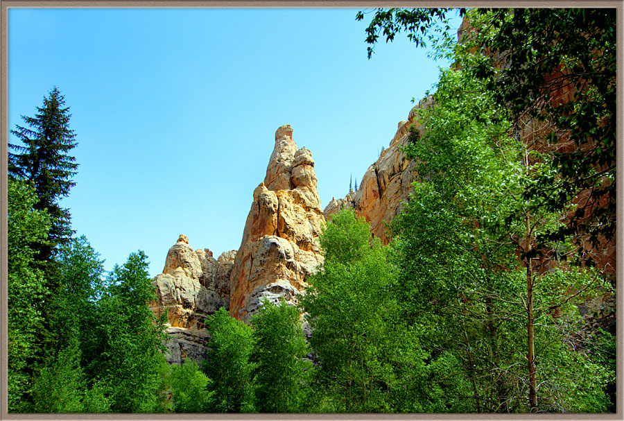
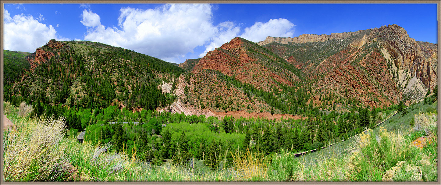
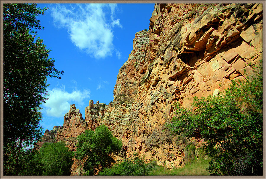
The entire area endured cataclysmic geologic upheaval over eons, and we can see the results today. The Sheep Creek Geological Loop is a road which passes through a series of towering formations—each formation composed of a completely different layer of ancient sandstone. One after another layer of ancient seabed were violently tilted during tectonic collisions, then slowly eroded to be visible today.Flaming Gorge Dam
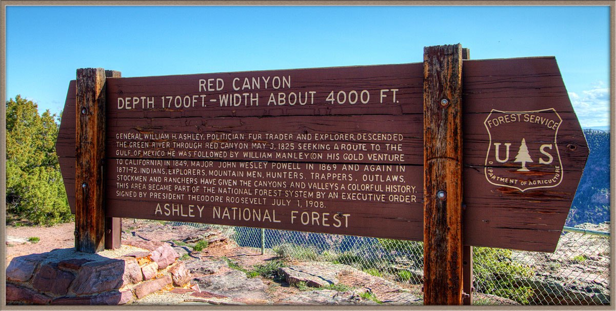
Red Canyon
Sheep Creek Geological Loop
Carl Roessler
P.O. Box 33668
Las Vegas, NV 89133
voice: 702.562.0226
| Return to Home Page | E-mail Carl Roessler: divxprt@cox.net | Photos |
|---|
All material in this Web Site is Copyright © Carl Roessler
2025 - All rights reserved.
Maintenance by Patricia
of Visual Ad Worx
Modified 02.28.25